Imagine having two globes before you: one with 16th-century cartography and one with a contemporary map. Both represent the Earth, yet the coastlines, place names, and political boundaries may be profoundly different.
A historical map tells the story of the world as it was known and represented in its time. Choosing Zoffoli cartography, therefore, also means choosing a perspective on history.
The 16th Century: The World in the Age of Great Exploration
In the 1500s, ocean voyages transformed European geographical knowledge. The voyages of Columbus, Vespucci, Magellan, and many others contributed to the gradual representation of the Americas and sea routes previously unknown to European cartographers. However, many regions remained incomplete or were drawn using fragmentary information.
Political geography was different from today's: the Italian peninsula was divided among several states and domains; the Holy Roman Empire comprised territories with complex arrangements, and the Ottoman Empire was a major Mediterranean power. However, not all 16th-century maps showed political boundaries as we understand them today.
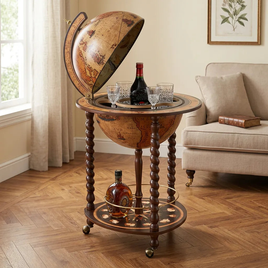
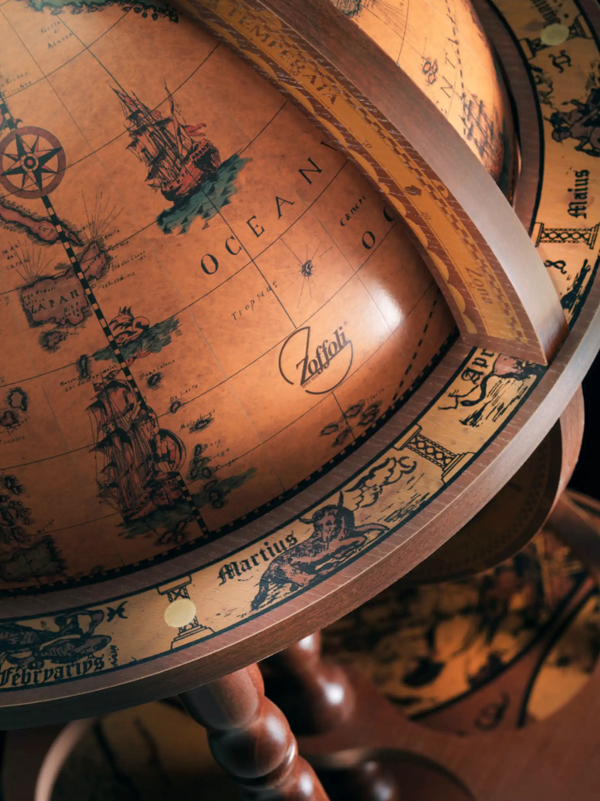
In the Zoffoli catalogue, models such as Bacco, Giunone, Giasone, Calipso, Minosse, and Afrodite are described with cartography that reproduces or evokes the 16th century.

The 17th Century: Cartography Becomes Increasingly Detailed
In the 1600s, new trade routes and geographical information helped expand European knowledge. The Netherlands became an important centre for map production; maps combined geographical research with rich decoration, including inscriptions, allegorical figures, and elaborate borders.
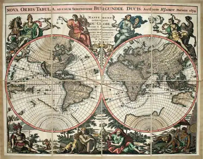
One example is Hubert Jaillot's Nova Orbis Tabula of 1694, reproduced in Zoffoli's collection of decorative maps. The map shows a world that is already recognisable, but is still marked by gaps in the knowledge of many regions.

The 18th Century: Exploration Changes the Maps
In the 1700s, advances in measurement and scientific expeditions helped improve cartographical accuracy. James Cook's voyages expanded European knowledge of the Pacific, New Zealand, and the eastern coast of Australia.
The Cassini Globe of 1788, featured in Zoffoli's collection of decorative maps, is dedicated to Captain Cook's voyages and new discoveries. Comparing it with a 16th-century map reveals almost three centuries of changes in the geographical information available.

The 19th Century: Europe Before the Modern States
In the 1800s, wars, treaties, and national movements profoundly changed European political geography. Italy achieved unification in 1861; the German Empire was founded in 1871. A map from the beginning of the century can therefore differ considerably from one from the end of the 1800s.
The Zoffoli collection includes reproductions of maps of Italy from before unification, including G. M. Cassini's Italia Antica of 1800. These works help us understand how a map can also be a record of a territory's political history.

Contemporary Cartography: The World We Know Today
Scientific surveys, aerial photography, satellites, and digital tools have changed the way the planet is represented. Political boundaries continue to evolve as well: consider the dissolution of the Soviet Union in 1991 and the separation of Czechoslovakia in 1993.
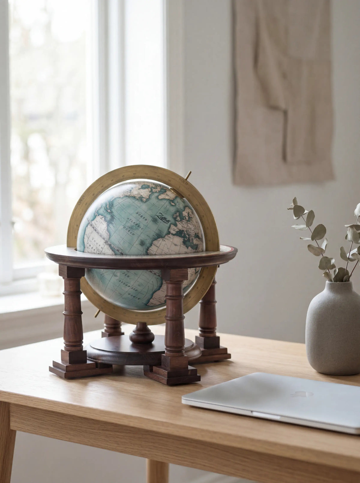
Alongside historical reproductions, Zoffoli offers globes with contemporary cartography, including James Cook, Vasco da Gama, Aries, Vertigo, and Trilogy. In these models, the geographical representation also serves an informative purpose.

Historical or Contemporary Cartography: Which Should You Choose?
Historical cartography is ideal for those who love great exploration, the evolution of territories, and the charm of ancient representations. Contemporary cartography, on the other hand, provides a view closer to the Earth's current geographical and political organisation.
A historical reproduction should not be interpreted as an updated map: names, shapes, and boundaries belong to the context of the original map. Similarly, modern cartography can retain significant decorative value.
Zoffoli: The Fascination of History Through Cartography
Since 1949, the year Italo Zoffoli founded the company in Rimini, cartography has been part of the brand's identity. A globe inspired by the 16th century takes us back to the age of exploration; an 18th-century globe tells the story of new knowledge; a contemporary globe shows the planet through more recent information.
The Earth is always the same. What has changed is the way humanity has known, described, and divided it.
Frequently Asked Questions About Historical Cartography
Why do the boundaries on old maps differ from those on modern maps?
Because states, kingdoms, and empires have changed over time. Furthermore, maps reflect the knowledge and conventions of their period.
Which historical cartography do Zoffoli globes use?
Several Zoffoli globes feature reproductions or interpretations of 16th-century cartography. The catalogue also includes decorative maps from other eras and globes with contemporary cartography.
Do historical maps show up-to-date boundaries?
No. Historical maps show how geography was represented in a past era and are not a reference for current political boundaries.
What is the difference between a 16th-century map and a contemporary one?
Knowledge of coastlines, geographical names, political boundaries, and cartographical conventions may have changed.